Trail of the Coeur d'Alenes

Coeur d'Alenes is a lake, a city, a river, a Native American Tribe, a casino, and a trail in Idaho. The trail runs along the lake and the river but not through the city. This paved trail is 72 miles long starting in Plummer and running to Mullan. It is included in the Rail to Trails Hall of Fame. I cycled about half of the trail. The trail is flat except at the ends near Plummer and Mullan. The last fifteen miles near Mullan is a climb of about 1000 feet. 

The portion along Coeur d'Alene Lake is similar to riding around other lakes but on a nice trail without the worry of cars. This make for a much more relaxing ride. I started in Harrison and rode toward Plummer. About 8 miles from Harrison is the Chatcolet Bridge that seems to appear in everyone's pictures of this trail. It spans across the lake at a point where Coeur d'Alene Lake, Hidden Lake, Chatcolet Lake, Round Lake and the St Joe River blend together. After crossing the bridge with lots of picture stops I only went a short distance before turning back to Harrison.

After a break in Harrison it was back on the trail, this time toward Mullan. This portion of the trail is along the Coeur d'Alene River and passes several additional lakes. Some casual conversations with local residents seems to indicate this area north of Harrison is the area you would be most likely to spot moose.

I spotted a moose with three little ones northeast of Harrison at 47.45966, -116.77785. Spotted a second moose on the trail with on little one a bit further at 47.47835, -116.70177. Unintentionally got a bit too close to this second moose, about 10 or 15 feet.  There is no way I could be disappointed seeing six moose but I would have liked to see the impressive rack of antlers that male moose have.

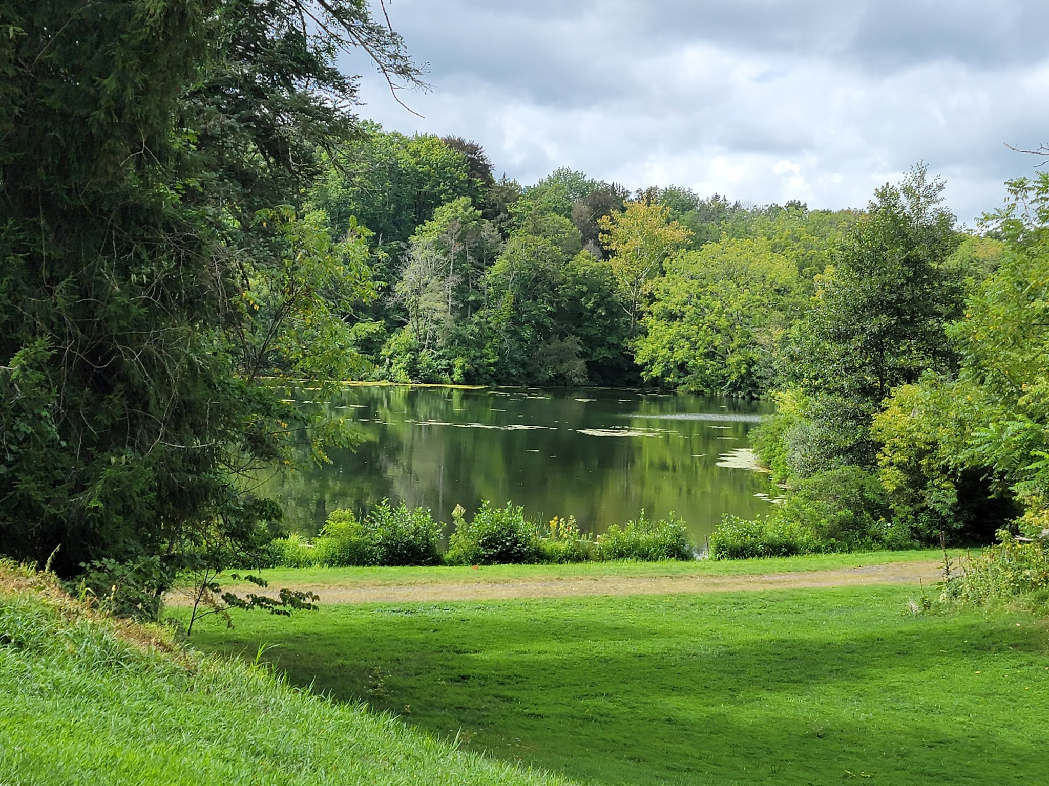
I rode to the area of Old Mission State Park. Along the way were fields, marsh land, wetlands, some forested area, lakes and river views. I spotted a fox and heron. The trail was mostly smooth with a mix of sun and shade. My ride was in September 2021.

The Trail of the Coeur d'Alene is the gateway trail for the Great American Rail-Trail, a planned 4,000 mile trail that will stretch all the way to Washington, D.C. Work is under way to connect 145 existing trails to make this vision a reality.

If you visit Trail of the Coeur d'Alene, do not drink surface water even with a filter. Much of  the water is contaminated with heavy metals. Efforts are underway to mitigate this contamination.

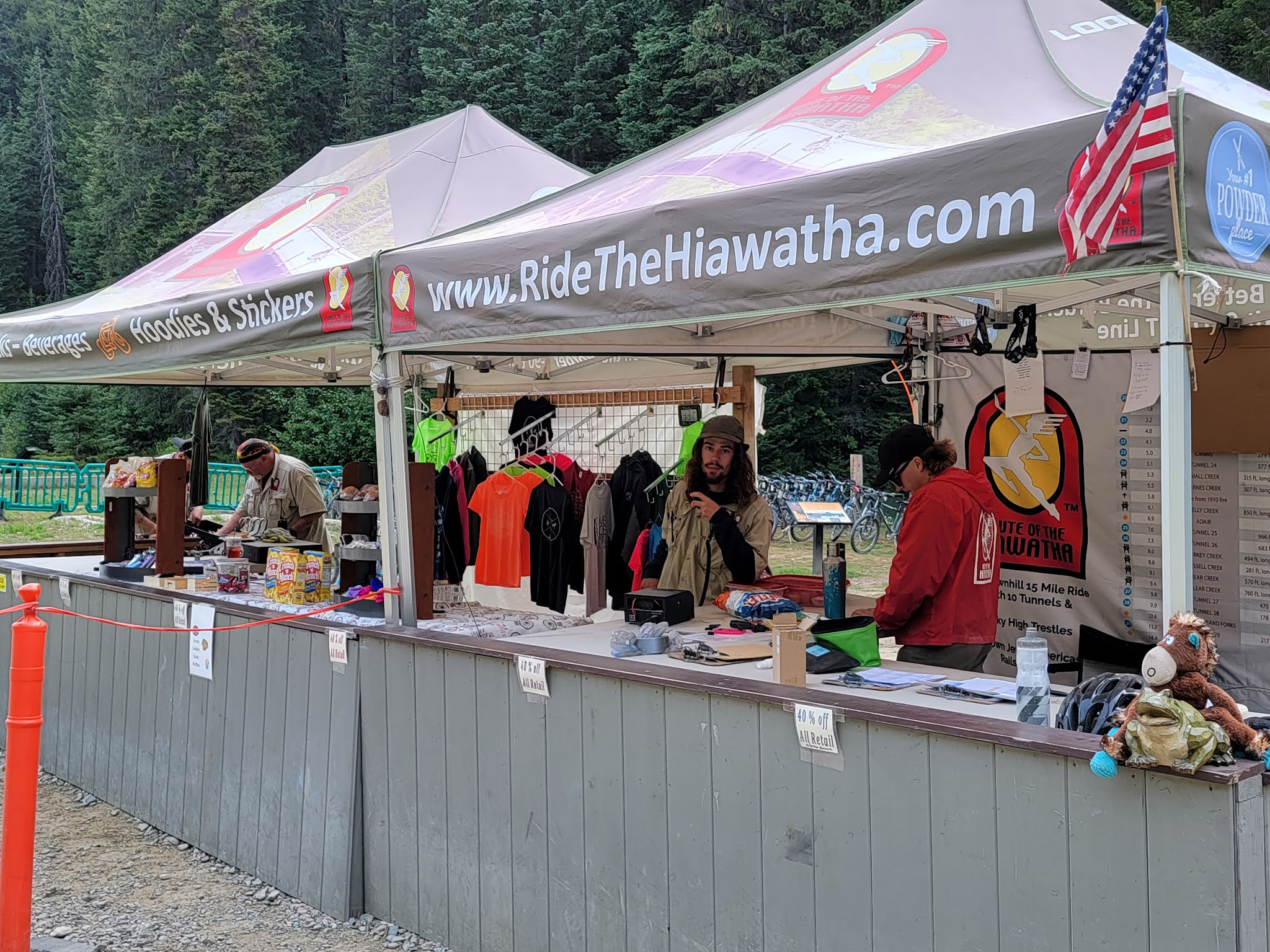
More information may be found on these websites:

Friends of the Coeur d'Alene Trail

Idaho Department of Parks and Recreation

Visit North Idaho


Here is a video of the portion of my ride along the lake: Mark's Bike Tock

This video is along the river portion, north of Harrison: Mark's Bike Tock

Here is a moose encounter along the trail: Mark's Bike Tock

Route of the Hiawatha

The Route of the Hiawatha is a 15 mile trail in the Bitterroot Mountains. Most of the trail is in Idaho but a portion is in Montana. It is well known for its 9 tunnels and 7 steel trestles. The first tunnel at the top of the trail is known as the Taft Tunnel and is 1.6 miles long. It is cool, wet and dark. You will need lights. Rental lights are only about 250 lumens, not very bright. If you choose to bring your own brighter light be very careful to not blind any riders riding in the opposite direction.

I rode the trail in September 2021. I used a bike rented from the ski area operators. The rental included a light for the tunnels. I also had a second light for the handlebars plus one for my helmet. The surface is packed dirt. It is very dusty, more than most trails. The rental bike was caked with dust making the shifting difficult. This is not a serious issue since the downhill incline is fairly consistent. It does become very important if you intend to ride back up. Be sure your bike shifts before you start down the trail.

An experienced rider that has ridden in tunnels will find the ride fun. If you have never ridden in the dark or in a tunnel you may be a bit stressed at first. After the first tunnel, the remaining tunnels are shorter and not so dark. The views from the trestles are awesome. The Kelly Creek trestle is 850 feet long and 230 feet high. Spectacular scenery means a bucket list worth experience that you will remember for many years. This is certainly a destination trail. It is included in Rails to Trails Hall of Fame.

There are several things to know if you would like to ride this trail. The trail is operated by the Lookout Pass Ski Area. It is also operated much like a ski area. You need a pass to ride on the trail. Only the east end of the trail is accessible. This entire trail is downhill to the end where a shuttle is available to return you to the top, for a fee. The drop off for the return shuttle is below the first tunnel so you will need to ride the long tunnel again to get back to your starting point. They offer equipment rental, bikes and lights, for a fee. Operating season is limited and generally runs from late May to late September but may be adjusted due to snow or other weather conditions. Hours of operation are limited. They sweep the trail (check for people) at the end of each day.

Make note that the trail spans two time zones. Be sure to note the time zone for hours of operation and other time considerations.

For more information visit the ski area's web site for the trail: ridethehiawatha.com or the US Forest Service site


Watch a video of my ride through the first tunnel, the 1.6 mile Taft Tunnel on my YouTube channel: Mark's Bike Tock 

Here is more of the ride: Mark's Bike Tock

Fish Lake Trail

Fish Lake Trail is a 9 mile paved trail starting on the southwest edge of Spokane, WA. This is an out and back since it ends in a dead end on the southern end. The northern end trailhead is at 47.64720, -117.45283. This flat, mostly shaded trail was a pleasure to ride. I rode in September of 2021.

More information may be found at Washington Trails Association or City of Spokane PDF.

Watch a video of my ride on my YouTube channel.


Duke Farms

Duke Farms is a privately owned nature preserve that has 12 miles of roads for cycling spread across 1000 acres. Several additional miles of roads are for walking only. The property has 9 man made lakes some including waterfalls. They host educational programs and research. The car free, beautifully landscaped roads make for some of the most pleasant cycling I have experienced.

The property is open for visits Tuesday to Saturday from 8:30 to 6:00. Visiting is free but Saturdays requires a timed ticket. The property includes a farm to table café and a bike share program. There is a parking lot near the main building at 1112 Dukes Parkway West, Hillsborough, NJ. The preserve is across the road. There is a traffic light and crossing guard to enhance safety. Paper maps are available or you can download their app.

I visited Duke Farms in August of 2021.

For more information visit dukefarms.org You can also find Duke Farms on Twitter , Facebook and Instagram.

For a video of my bike ride visit my YouTube channel Mark's Bike Tock