White Pine Trail

 The Fred Meijer White Pine Trail extends from Grand Rapids, MI to Cadillac, MI, a distance of 93 miles. I rode the southern third from Grand Rapids to Howard City. I started at Riverside Park (https://goo.gl/maps/8zsFNjML89KR57cHA) and crossed the river to start the trail. The trail was paved for the entire segment I rode. 

I found Rockford delightful. The riverfront is beautiful and was vibrant with activity when I rode thru on a Saturday morning. Cedar Springs was nice with businesses located a short couple of blocks from the trail rather than right on the trail. I had a late breakfast at Sue's Kountry Kitchen (12 N 1st St, Cedar Springs) and the homemade rye bread was the best I have tasted.

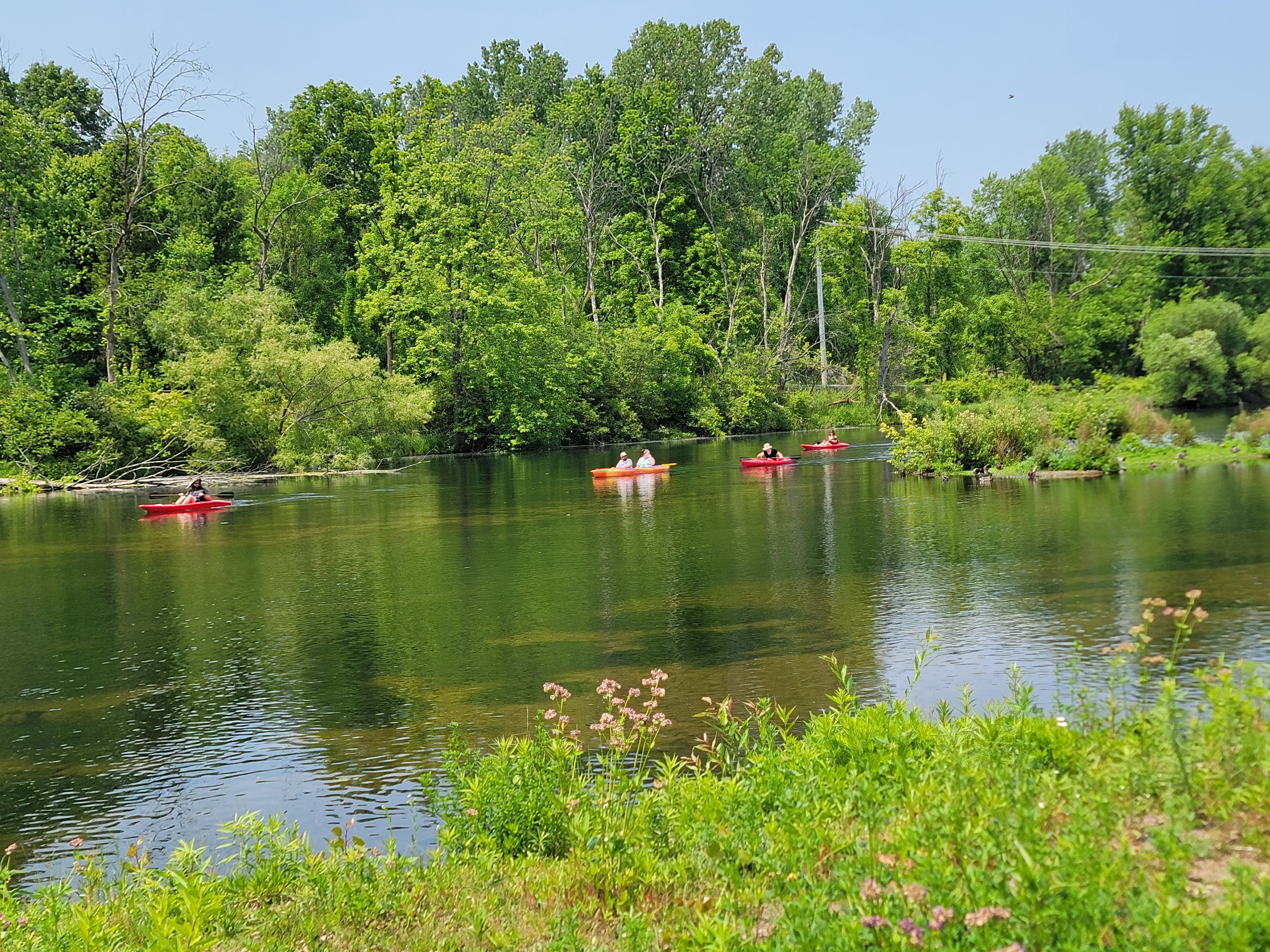
The part of the trail closer to Grand Rapids had a lot of shade. The trail had less cover as I got closer to Howard City. Lots of users on the trail between Grand Rapids and Cedar Springs but it was a weekend morning.

More information about the trail may be found here.


Garden of the Gods

Garden of the Gods is a National Natural Landmark in Colorado Springs, CO. The park occasionally has a motorless morning where cars are not allowed in the park. Check the list of events or call the park to find out when the next one is scheduled.

I cycled this event in early spring 2023. The event was scheduled from 5:00am to noon. I am an early riser and on east coast time so I was at the gate at 4:45. I elected to start at the Trading Post on the southern end of the park. A ranger opened the gate a few minutes after 5 and I started riding not long after. I was able to reach the Central Garden before sunrise. Really neat to experience sunrise in this beautiful place.

I rode the loop around the central garden then went around again in full sunlight. The second time around I took a spur to the visitor's center and rode the new entrance path from the main entrance into the park. I also took a different spur to get to balanced rock.

The result was a short 13 mile ride but it had 1300 feet of elevation gain. Just to add a bit more of a challenge, the park is situated at 6200 feet elevation. If you opt to ride this in summer remember lots of water and sunscreen.

For more information visit the park's website.


Allegheny River Trail


This 30 mile, paved trail begins in Franklin, PA at 41.38688, -79.81754. The trail meets the Samuel Justus Trail at this location. Along the trail are nice views of the Allegheny River. There are two tunnels along the trail and you will need lights for each.

The trail is paved except for a short section that veers away from the old rail bed into a small community. Here the surface is dirt and loose gravel that is shared with local residents. There were numerous benches offering a peaceful resting spot to watch to river flow, possibly with wildlife. 

To learn more visit the website for the trail or DCNR's website


Redbank Valley Trail


The Redbank Valley Trail is an under appreciated gem of a trail in western Pennsylvania. This 40 plus mile trail has a crushed stone surface that was smooth to ride. I started at 40.99559, -79.49019 where there was parking and a porta potty. I rode about 15 miles into New Bethlehem where I stopped at a convinence store for a snack and to refill my water supply. Along the way were some very nice art sculptures and two tunnels. If you ride this section of trail, you will need lights for the tunnels.

The trail is away from civilization so don't expect cell coverage. As with most rail-trails the trail was basically flat. One interesting feature is Ray's Place. This is located at the end of the Long Point Tunnel (40.98311, -79.45528) and was built as a tribute to a long time trail advocate from the area. It includes a lean-to for bike packers to bunk for a night along with a permanent drop toilet.  

For more information visit the trail website or the DCNR website.