Buffalo Valley Rail Trail

Buffalo Valley Rail Trail is a 9 mile trail between Lewisburg and Mifflinburg, PA. The trail opened for public use in November of 2011. The trail traverses mostly agricultural lands and is remarkable flat and straight. There are a significant number of road crossings but almost all are private driveways with very good visibility. Users are asked to respect privacy and not to photograph the local residents.

For more information visit the website dedicated to the trail. Alternately, visit the Facebook page for users of the trail.


See a video of one of my rides on this trail here: https://youtu.be/9USAwhZn78A

Lackawanna Heritage Trail

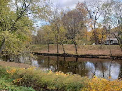
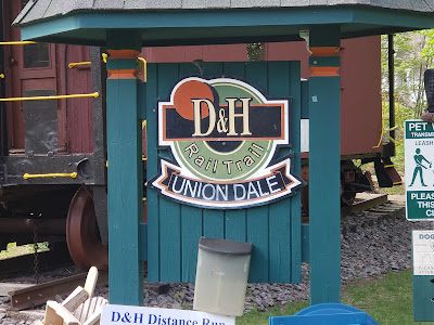
This is a very nice, long trail that runs from Scranton, PA to the New York state line. When completed this trail will extend about 70 miles. The vision is to connect the southern end with the Wyoming Valley Levee Trail. Portions of the trail run along former D&H rail way, some along CNJ right of way and some along former O&W line. Most of the trail is along the Lackawanna River.

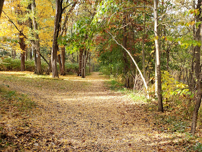
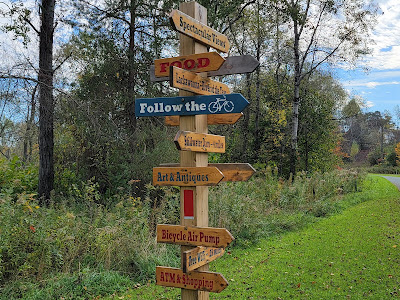
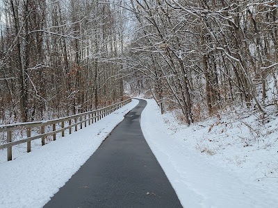
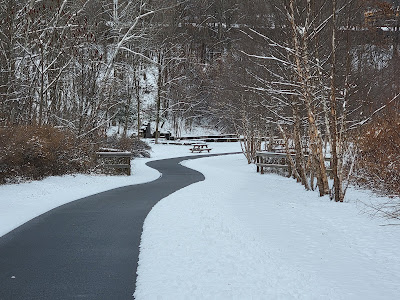
The trail is divided into sections. The lower valley section in the area of Taylor is not done. The Scranton section starts on the outskirts of Taylor and into the city of Scranton. Most of this is done and includes paving and other amenities. Part of this section includes the Scranton River Walk. At Olive Street, near the Scranton High School the trail is an unimproved path atop the levee. The next improved section is in Peckville. This is the Mid Valley Section of the trail. Most of the improved trail here is paved and well signed but some gaps exist. As you go north into the Upper Valley section the trail is mostly unimproved right of way. Some of these sections are a bit rough and are best navigated with a fat bike.

The Lackawanna Heritage Valley and others are working hard to fill in gaps and this trail is shaping up to be something special. More and more of this trail is improved each year. As construction progresses, they are doing it right with connections to communities and historic places along the way.

For more about the trail visit the Lackawanna Heritage Valley site. Read carefully because portions of the route are on road meaning the trail has not yet been constructed. The roads are generally not marked with bike lanes and directional signage is hit and miss.


To see a video of my bike ride on the Mid Valley section of the trail visit Mark's Bike Tock YouTube channel. You can also preview the Scranton section here.

Saucon Rail Trail

The Saucon Trail is a nice 7 mile trail south of Allentown, PA. I particularly like the variety of scenery along the trail. Portions of the trail were along Saucon Creek but it also passed marsh land, golf courses, farmland, and some very affluent residential areas. It also passed by or through several parks.

Learn more about the trail from the township website, the trail website,  or the Facebook page.


A video of my ride on this trail is posted on Mark's Bike Tock YouTube channel.

Ironton Rail Trail

The Ironton Rail Trail, known locally as the IRT, has amenities not often seen in a rail trail. First, the main section is a loop. The trail is located in a mostly residential area near Whitehall, PA. I wish I had such a nice trail in close proximity to my house. The other things that make this an exceptional trail is that it is mostly paved and it is maintained in the winter.

The main loop is about 5 miles in circumference with an additional spur of about 4 miles. You can find out more about the IRT, including a map at their website.

There are many places to park to access the trail. My favorite is near the caboose: 40.67102, -75.50788

The Ironton Rail-Trail is part of The Link system of trails.

UPDATE

As of November, 2020 the entire trail is paved, both loop and spur.


Learn more about this phone booth at my phone booth post.


New Display placed September 2021


Watch a video of a recent ride on the spur on my YouTube channel. A recent ride on the loop section is posted here.

Here is an elevation profile superimposed on a map. This was made with VeloViewer.