I wanted to see the horses on Assateague Island via my bike. Started in the early evening from the northern entrance visitor's center. I crossed the bridge to the island, it was very windy on the bridge. As I started on the island the wind was just enough to keep the local insect population away.
The island has a mix of paved trails and on road riding for bikes. I normally don't care for on road riding but here the roads were lightly traveled with a 25 mph speed limit. The roads with more traffic had a wood guard rail to separate the road from the bike trail.
Once on the island you turn right to access most of the island. Straight has a beach and camping access. Immediately after the right turn the trail has a crosswalk to get to the far side of the road where the trail resumes.
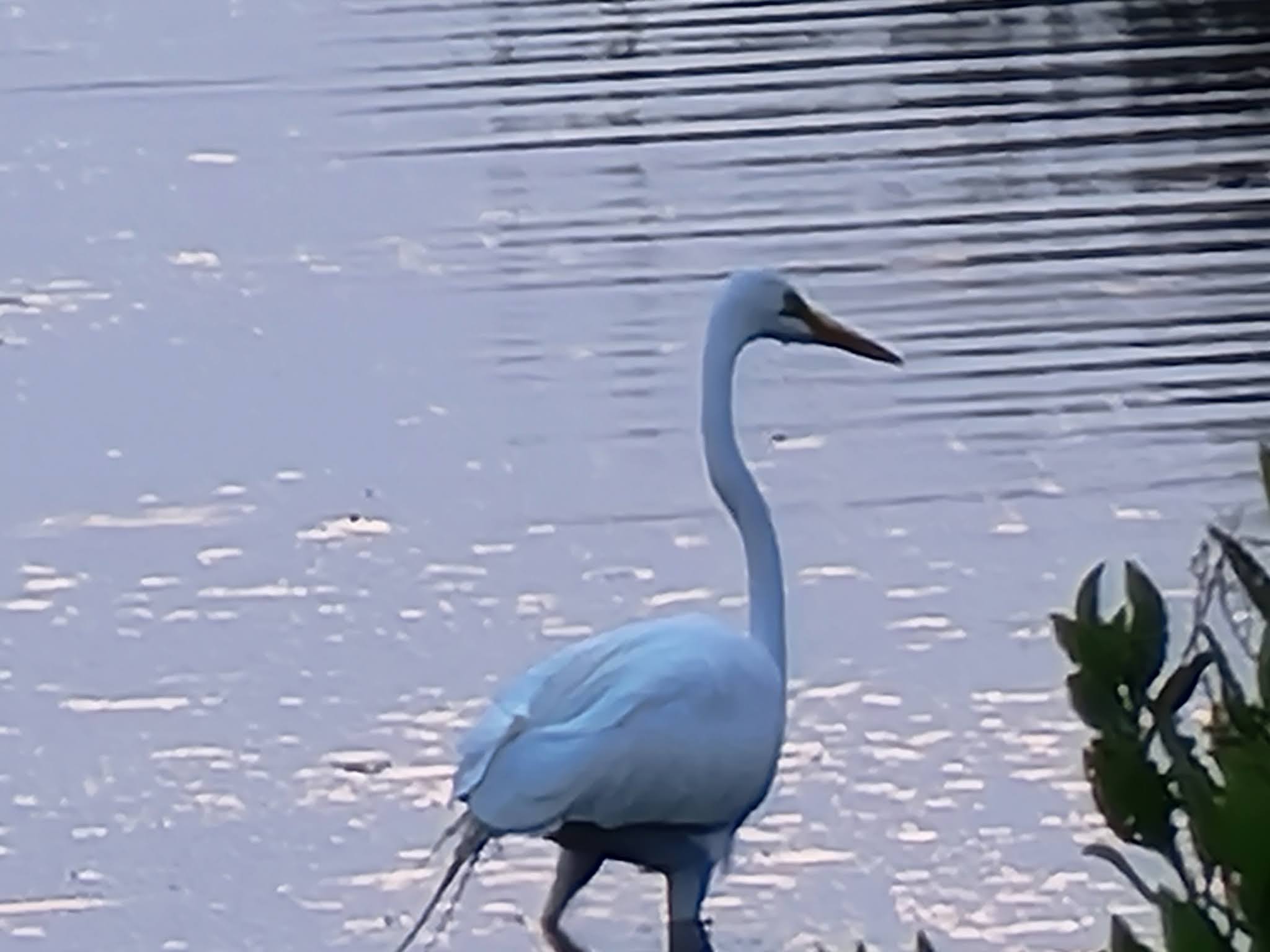
Within the first mile after the turn I see several cars parked on the shoulder. Sure enough there were four horses about 150 yards away toward the bay. Another mile or less cars were stopped in the road. Here the horses were on trail, the road and the shoulder of the road. Another mile or so I arrived at the gate for the national seashore. This part is $25 per car for entry but free for people on bikes. No parking before this so you have to ride from the visitor center.
After the gate the bike trail veers toward the camping area. Here I spotted several more horses walking amongst the campers. I turned around at this point due to approaching darkness. I returned the next day after a ride on the Ocean City boardwalk where we stayed. After my ride my wife and I drove to the southern entrance. The two entrances are about an hour car ride between them. You are not able to get from one to the other on the island except perhaps by walking.
The southern entrance is via Chincoteague. This is a developed island that also has wild horses. Crossing to Assateague you again have a fee for entry with a car. This was $10. Here the bike path was under tree cover. It looked very pleasant but sadly I did not have a chance to ride here. A bit further there is a very long beach. We did spot some horses in the distance but we were not here long.
We headed back north and entered the northern entrance with the car. My wife was able to see horses up close as I did on my bike ride. We stayed in Ocean City and on the way back stopped at a roadside BBQ stand, delicious.
For more information see National Park Service or Assateague Guide.
For a video of my May 2021 bike ride visit my YouTube channel, Mark's Bike Tock.