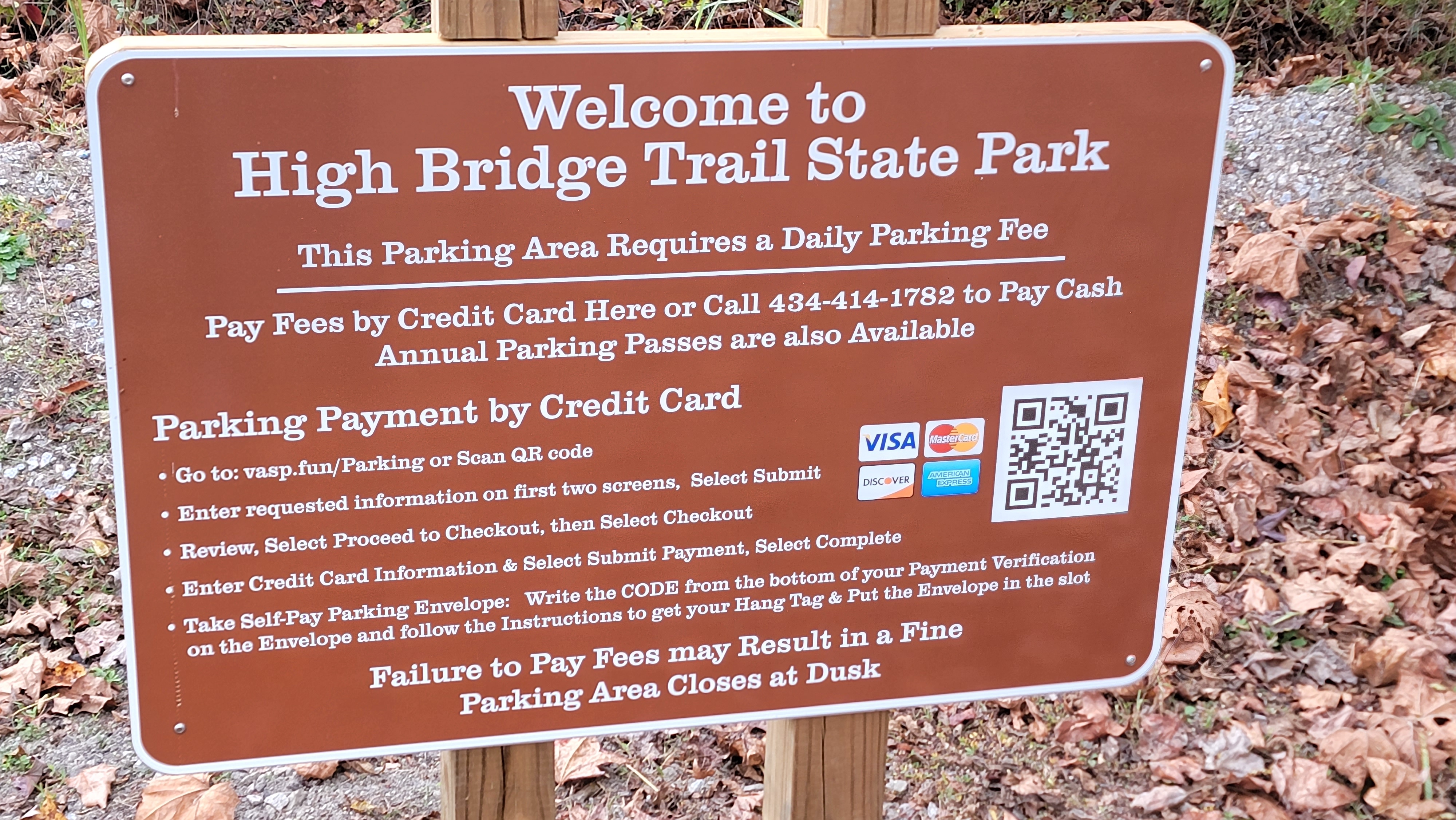
The High Bridge Trail is a 31 miles mixed use trail with a stone/dirt surface. I rode from Farmville east, toward the namesake bridge to the end. I was on a hybrid bike but the surface was smooth and a road bike would likely be fine. Farmville is located at the center of the trail length. There are mile markers every 1/2 miles starting on the bridge. Moving away from mile zero on the bridge the markers are designated E & W to uniquely identify locations along the trail. The bridge is about 5 miles from Farmville. There are a few closer trailheads if you are walking or running but these are paid lots. The entire trail is a state park that charges for parking. The town of Farmville has abundant municipal parking lots that are free.
The bridge was constructed around 1854 to cross the Appomattox River. It was originally a railroad bridge with an adjacent walkway and a wagon bridge below. It had historic importance in the Civil War. Earthen fortifications are still present on the east side of the bridge. There is a walking trail that allows views of the underside of the bridge.
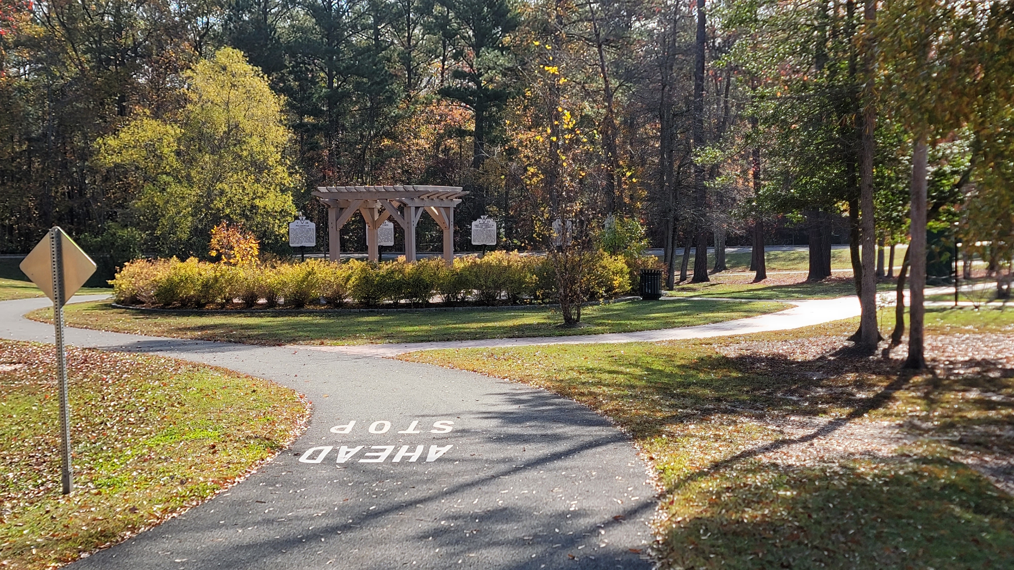
There were several trailheads with pit toilets along the trail. There are gates at road intersections but these have sufficient spacing to easily navigate. The cross roads were lightly traveled. Horses are allowed on the trail.


 |
| View under the bridge. Walking trail affords these views. |
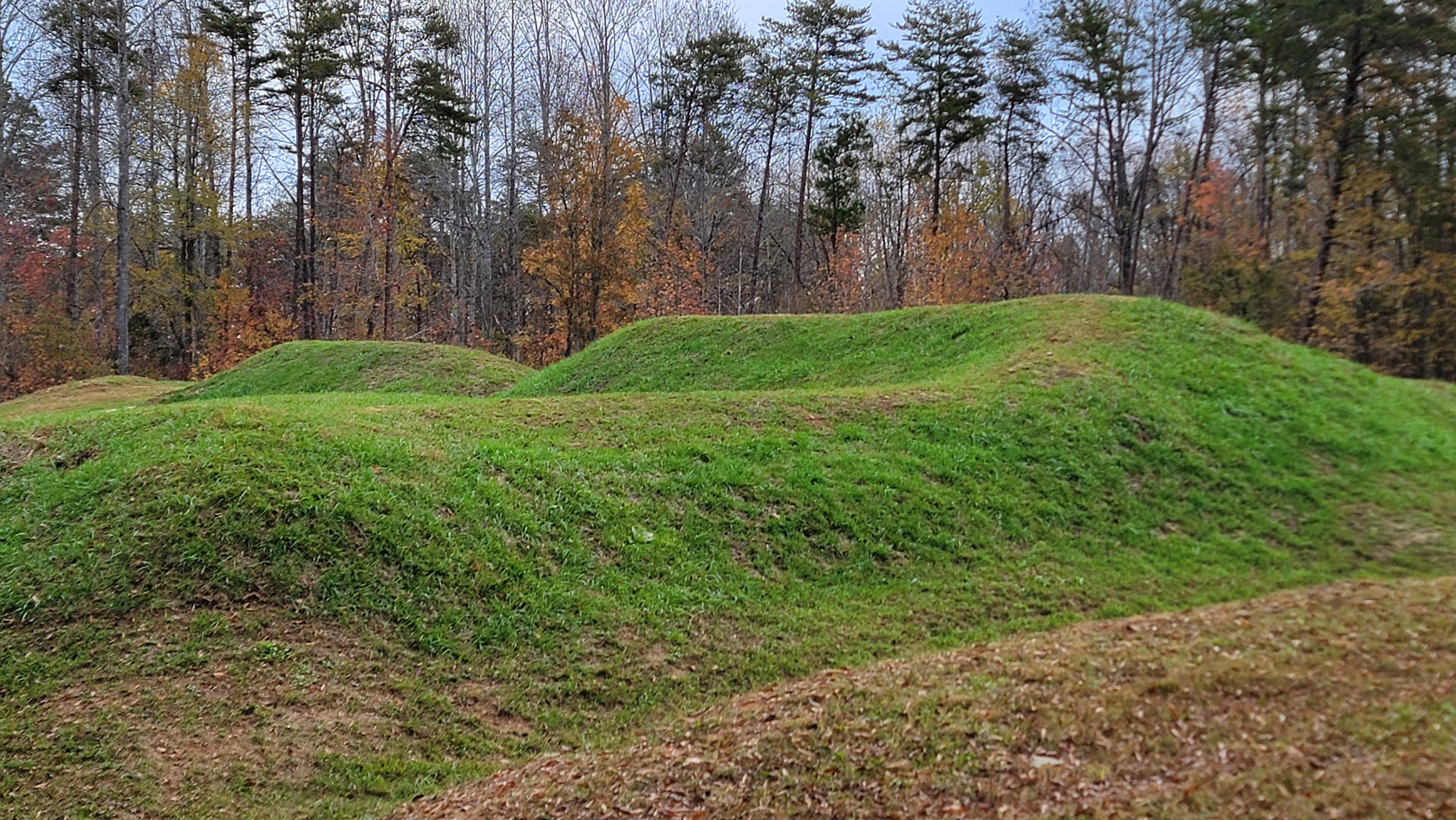 |
| Civil War fortifications adjacent to the trail |
 |
| Civil War cannon adjacent to the trail |