Stony Valley

Stony Valley is a rail-trail west of Pine Grove, PA. It is just under 20 miles in length. It has a bit rougher surface than most rail-trails but is very straight and flat. There are no services along the trail, no water, no cell service, no porta potties!

The trail starts in Dauphin county and ends in a dead end at the Lebanon Reservoir. The trail is closed to cyclists during hunting season. Additionally, ebikes are not permitted. The trail intersects the Appalachian Trail at Rausch Gap, an abandoned railroad community.

The end points are difficult to access. I parked at the intersection with Gold Mine Road at 40.52633, -76.53716. For more information see DCNR or Lebanon Valley.


Longleaf Trace

The Longleaf is a southern Mississippi paved trail 44 miles in length. I rode the trail from the gateway at MM 3 to MM 22. The gateway at MM 3 has a manned visitor center and available bike rentals. This is located at the University of Southern Mississippi, Hattiesburg, MS. I entered the trailhead from 4th street only to find myself on university property. DO NOT PARK HERE. You may find your car towed. Trailhead parking is a smaller lot behind the university lot (31.332856, -89.330232) accessible from Northwood Drive.

Petroleum-propelled vehicles are not allowed. Golf carts are allowed with a permit. Horses have a separate, parallel trail along portions of the Longleaf. I found the trail to be smooth, flat, wide and straight with few road crossings. Most of the trail has a nice tree buffer providing shade and screening of adjacent properties. Trailheads generally had water fountains, flush toilets and bike fix-it stations. Additional rest areas with benches dot the trail.

Additional information about the trail may be found here. Scroll to the bottom of this page for a video of my ride.


Union Canal Trail

The Union Canal Trail is a short bicycle and walking trail along Tulpehocken Creek near Reading, PA. It is the site of historic canal locks, grist mills, blacksmith shop, several historic homesteads and the longest surviving single span covered bridge in Pennsylvania. Most of the trail and adjoining property is a Berks County Park. The trail ends at a stilling basin at the outlet from Blue Marsh Lake. The lake and surrounding area is overseen by the US Army Corps of Engineers. The last section of the UC Trail is leased to Berks County.

The UC Trail is six miles long and ends at a system of mountain bike trails around Blue Marsh Lake. Most of the trail is fairly level but as the trail turns away from the creek toward the lake there is a bit of a climb followed by some rolling hills. I found the trail to be smooth, well maintained and a pleasure to ride.

I rode my bike for the Schuylkill River trail (it connects) so I don't have any insight on parking. Most of the amenities were closed when I was there in the off season (February). For more information see the Berks County website.


Virginia High Bridge Trail

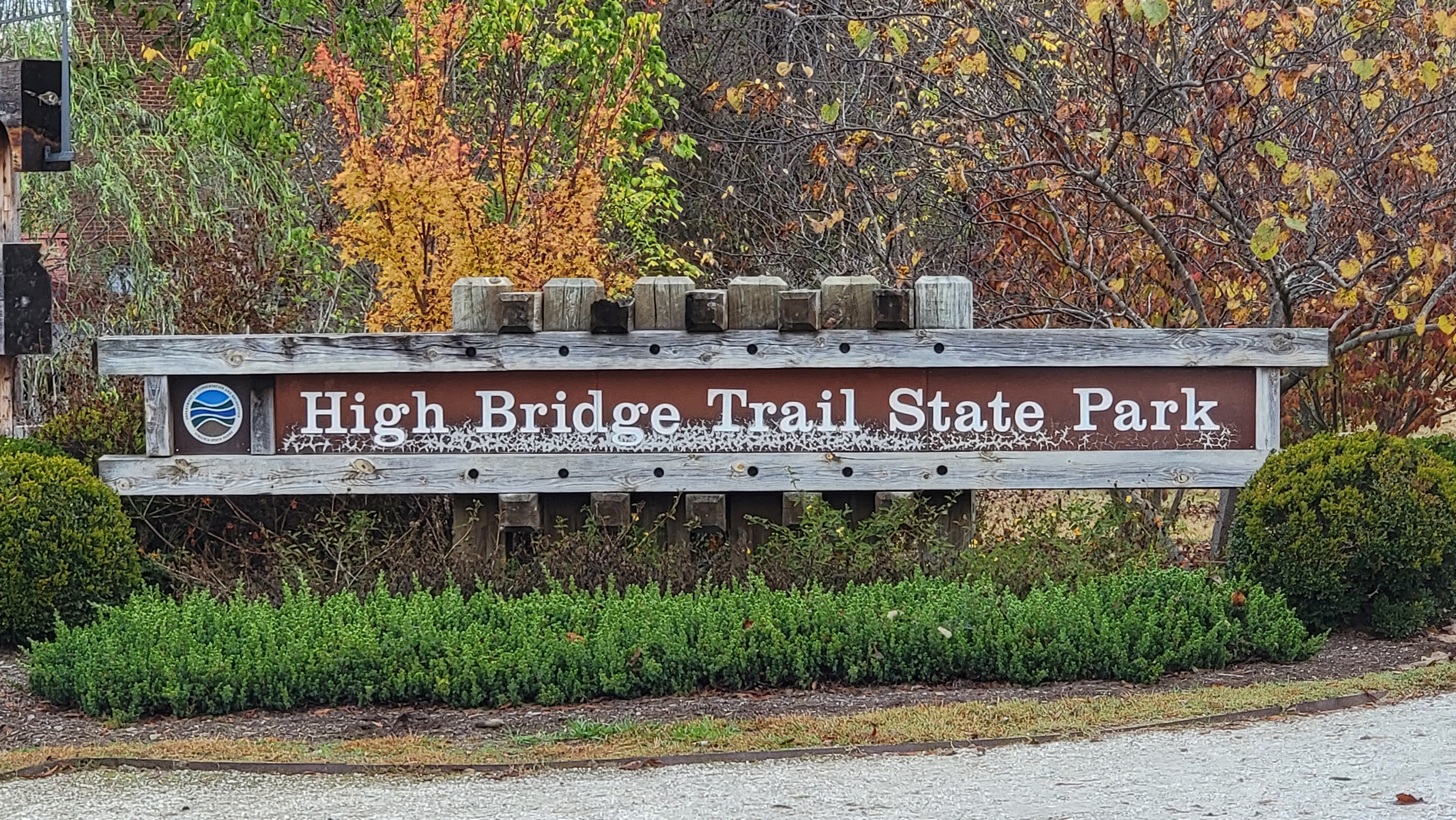
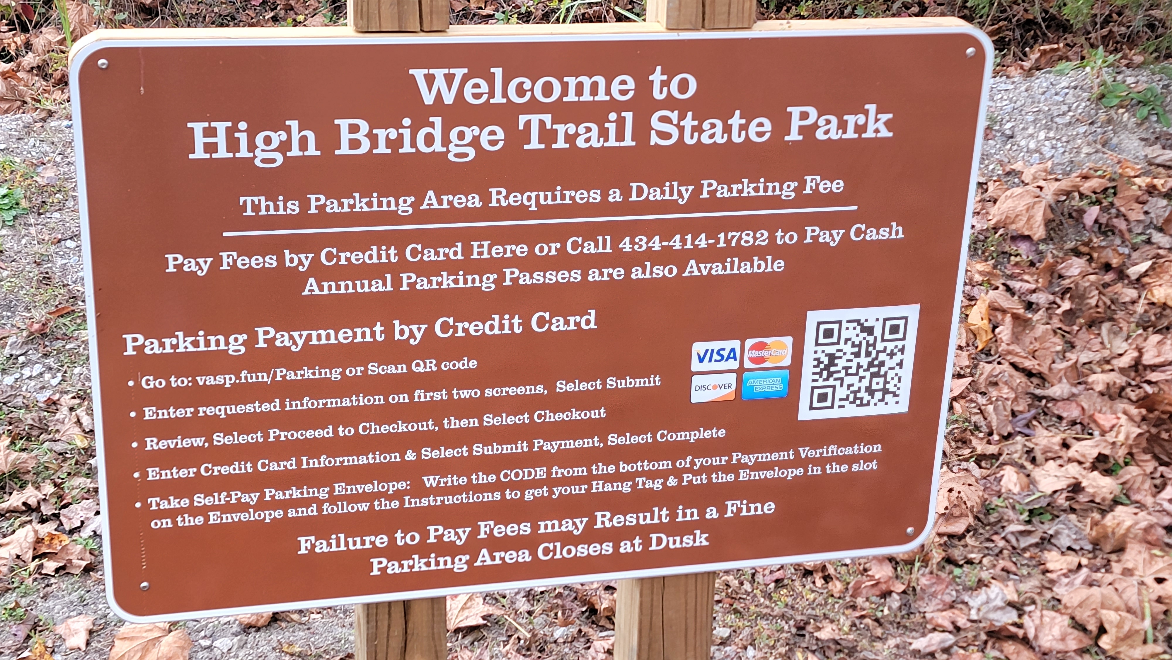
 The High Bridge Trail is a 31 miles mixed use trail with a stone/dirt surface. I rode from Farmville east, toward the namesake bridge to the end. I was on a hybrid bike but the surface was smooth and a road bike would likely be fine. Farmville is located at the center of the trail length. There are mile markers every 1/2 miles starting on the bridge. Moving away from mile zero on the bridge the markers are designated E & W to uniquely identify locations along the trail. The bridge is about 5 miles from Farmville. There are a few closer trailheads if you are walking or running but these are paid lots. The entire trail is a state park that charges for parking. The town of Farmville has abundant municipal parking lots that are free.

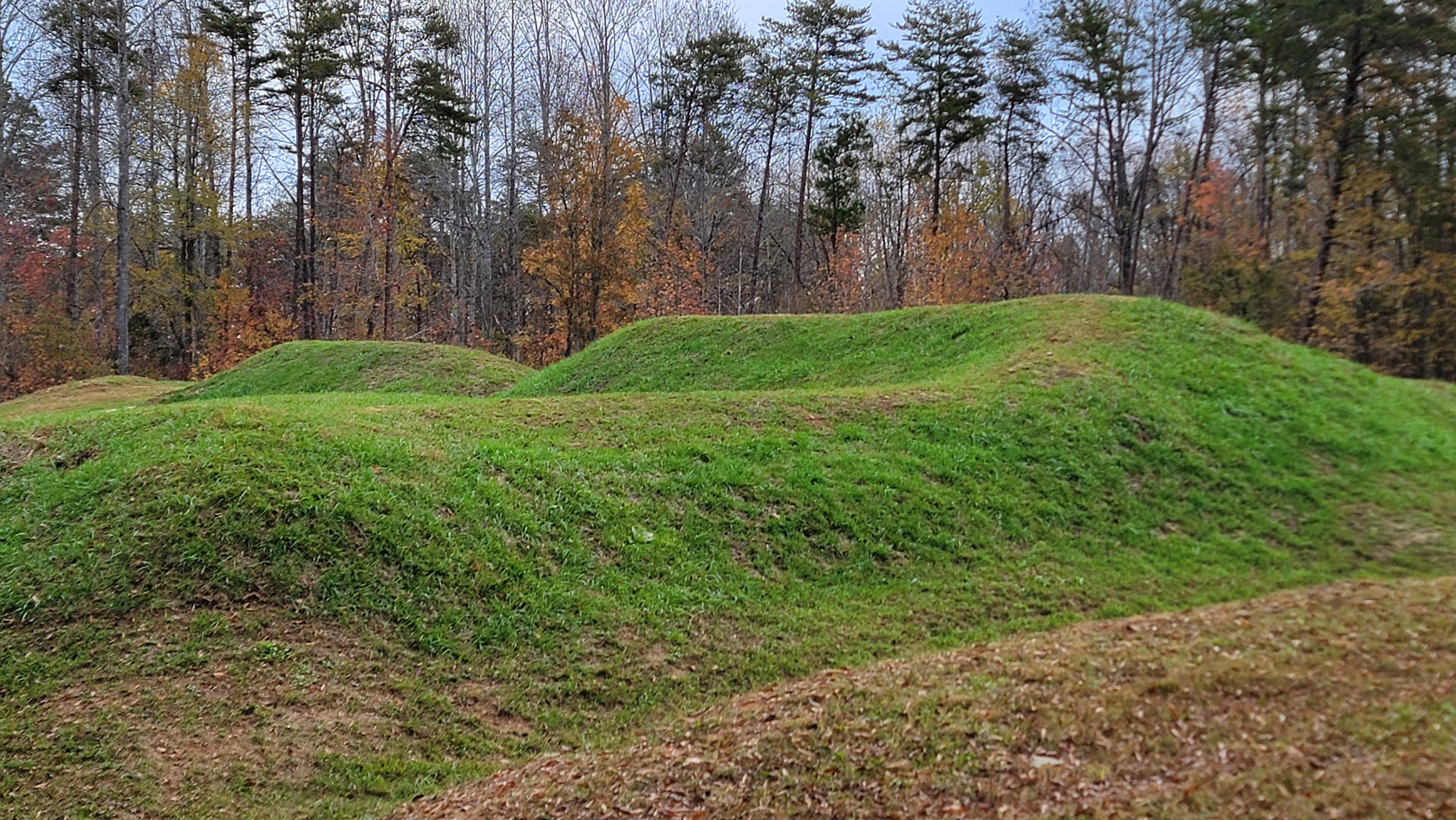
The bridge was constructed around 1854 to cross the Appomattox River. It was originally a railroad bridge with an adjacent walkway and a wagon bridge below. It had historic importance in the Civil War.  Earthen fortifications are still present on the east side of the bridge. There is a walking trail that allows views of the underside of the bridge. 

There were several trailheads with pit toilets along the trail. There are gates at road intersections but these have sufficient spacing to easily navigate. The cross roads were lightly traveled. Horses are allowed on the trail.


View under the bridge. Walking trail affords these views.

Civil War fortifications adjacent to the trail

Civil War cannon adjacent to the trail