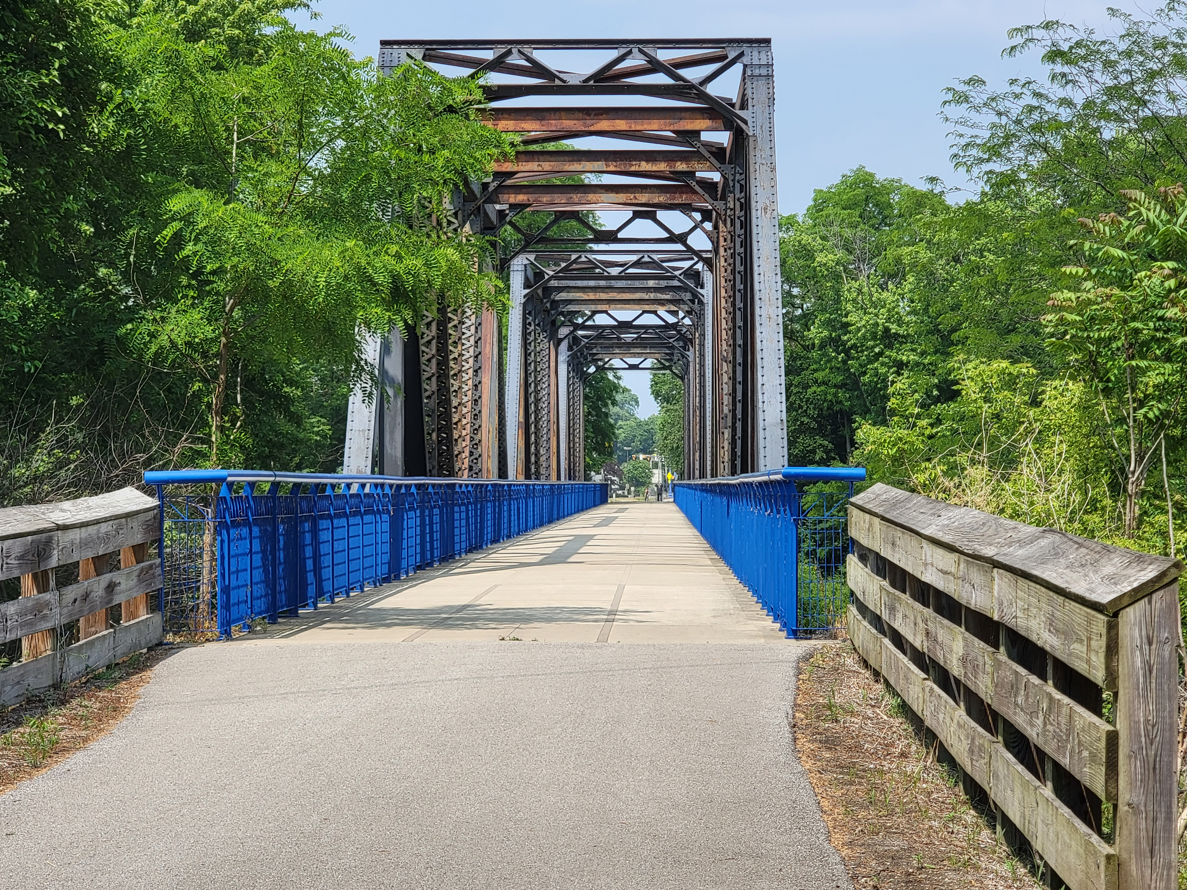
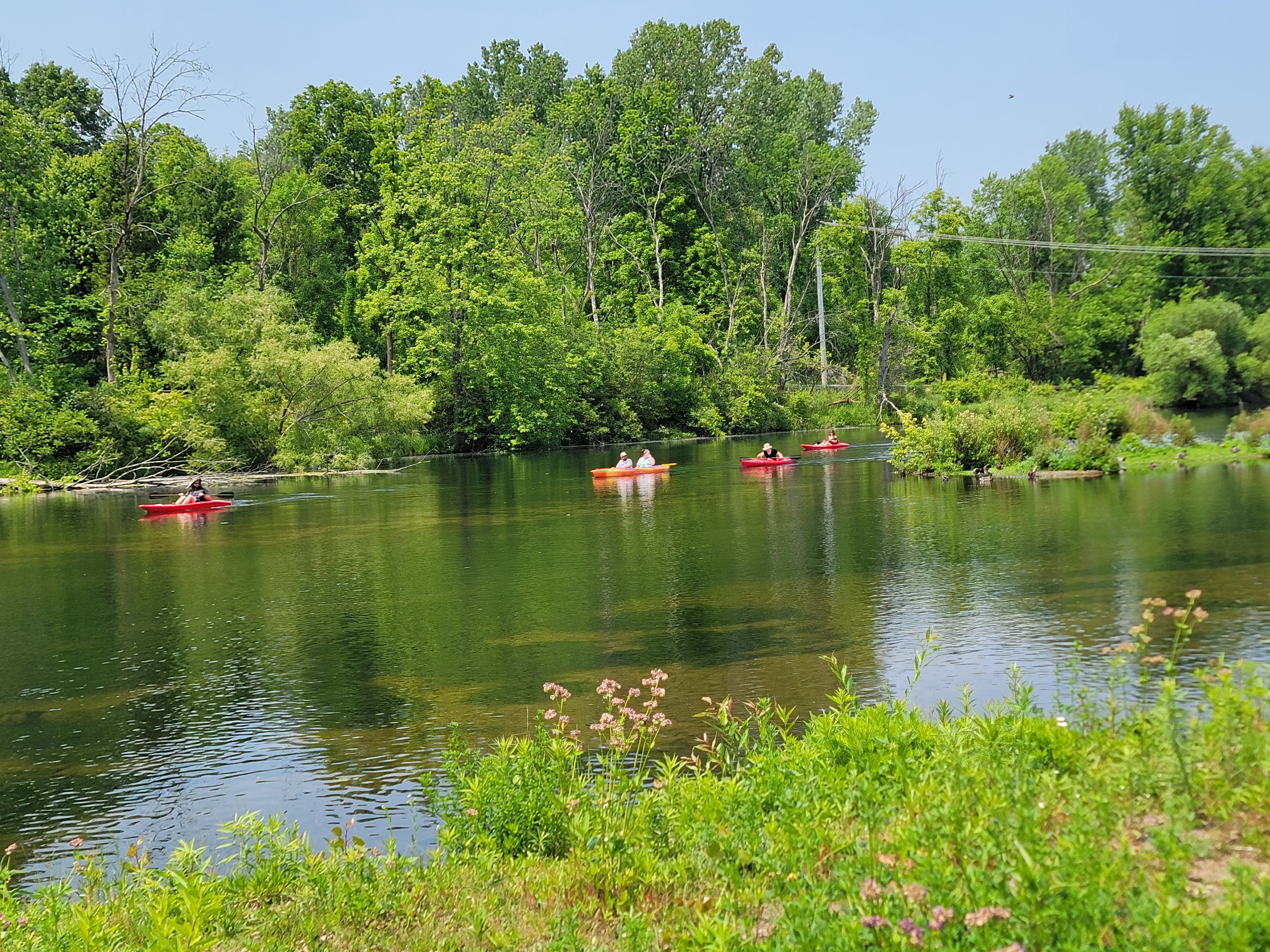
Below are some pictures I have taken while riding along trails that you may want to use as a computer background or screen saver. Panoramic images are good for dual (side by side) monitors. Click on the picture for full screen view then right click to download.
The Nickel Plate Trail stretches from Kokomo, IN to Rochester, IN. There is a gap in the middle of the trail at Peru, IN. It is part of the Great American Trail. The entire length is paved, flat, straight and mostly smooth. I parked on the northern end, at the trailhead, 41.05488, -86.20243.
The trail's northern segment ended at Lover's Lane in Peru and the road didn't have any shoulders but it was only a few hundred yards to a much safer road. The remaining streets were much safer. Broadway was busy but fairly wide and only a couple of blocks. The route I used in town was given on Google maps, bike layer. The streets are not marked with trail signage and there were quite a few turns.
I stopped at the southern edge of town to eat at Wings Etc. The manager invited me to park my bike inside, near the kitchen door. After a nice lunch I was ready to tackle the southern portion of the trail.
I turned around just outside of Kokomo at a busy road crossing, 40.53453, -86.12582. There is another trailhead here. I didn't enter town but the trail ends there. Then it was 41 miles back to the car.
This trail has been on my to do list for some time. I was excited to finally ride it. The trail did not disappoint. It was a very enjoyable ride. The few road crossings were mostly driveways or very quiet roads. There were benches, maps and repair stations along the way. Adjacent to the trail were pastures with horses grazing and a landscaping business with an incredibly landscaped pond. I spotted four deer during my ride along with numerous small animals. I would definitely ride this again if I return to the area.
The Fred Meijer White Pine Trail extends from Grand Rapids, MI to Cadillac, MI, a distance of 93 miles. I rode the southern third from Grand Rapids to Howard City. I started at Riverside Park (https://goo.gl/maps/8zsFNjML89KR57cHA) and crossed the river to start the trail. The trail was paved for the entire segment I rode.
I found Rockford delightful. The riverfront is beautiful and was vibrant with activity when I rode thru on a Saturday morning. Cedar Springs was nice with businesses located a short couple of blocks from the trail rather than right on the trail. I had a late breakfast at Sue's Kountry Kitchen (12 N 1st St, Cedar Springs) and the homemade rye bread was the best I have tasted.
The part of the trail closer to Grand Rapids had a lot of shade. The trail had less cover as I got closer to Howard City. Lots of users on the trail between Grand Rapids and Cedar Springs but it was a weekend morning.
More information about the trail may be found here.