Thermal Belt Trail

 The Thermal Belt is a 14 mile, paved trail in North Carolina. I have also seen this referred to as the Isothermal Rail Trail. When I rode the trail in April of 2025,There were occasional tree root bumps in the pavement but these were not a serious issue.  Porta potties and other comfort facilities were not located at the ends of the trail but were available a couple of miles from each end. There were several bike repair stations placed along the trail however, sadly, most were missing tools. There were mile markers every half mile, I wish more trails would have half mile markers.

One portion of the trail passes what appears to be a municipal garage with various equipment and road maintenance supplies. Another area seemed to be a manufacturing plant. These were surrounded by a chain link fence. Normally I would find this unsightly and a negative for enjoyment of the trail. In this case the fence was covered with a printed fabric. The printing alternated the trail logo with animal pictures. This vastly improved the view with a mural like feel. I appreciated the innovative approach to improving visuals.

The town of Ruth is in the middle of the trail and has a series of arches over the trail with lights. This creates a tunnel like effect. I wish I was able to see the result after dark. There are also lights on the bridge in Forest City.

I started my ride on the southern end of the trail (35.30058, -81.85332) near the Forrest Hunt Elementary School. This is the lowest elevation on the trail resulting a a more down hill return ride. To get to this trailhead you turn into the school driveway then turn left into the trailhead. It is a bit confusing if you are expecting to enter from the main road, ALT 221.


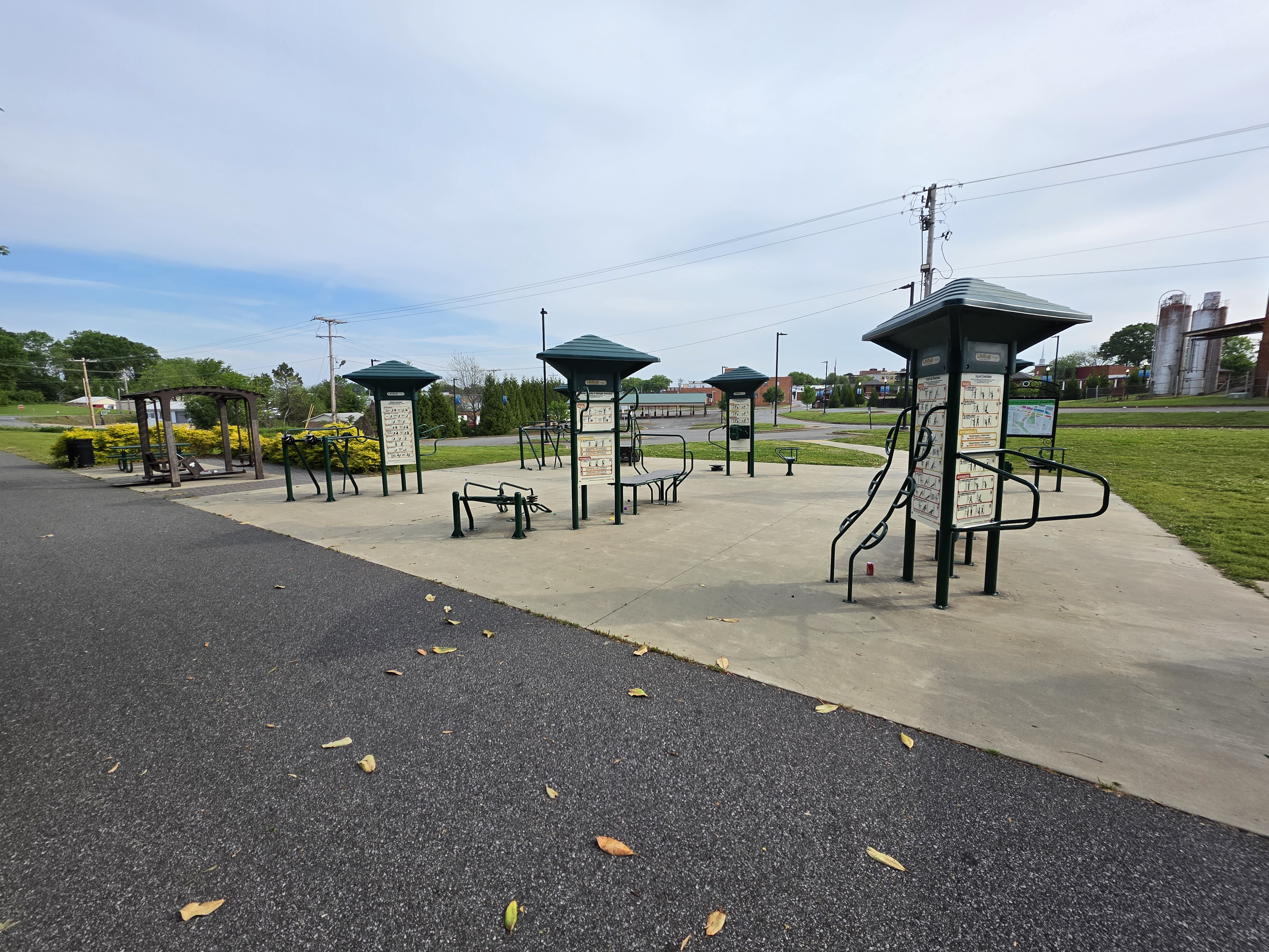


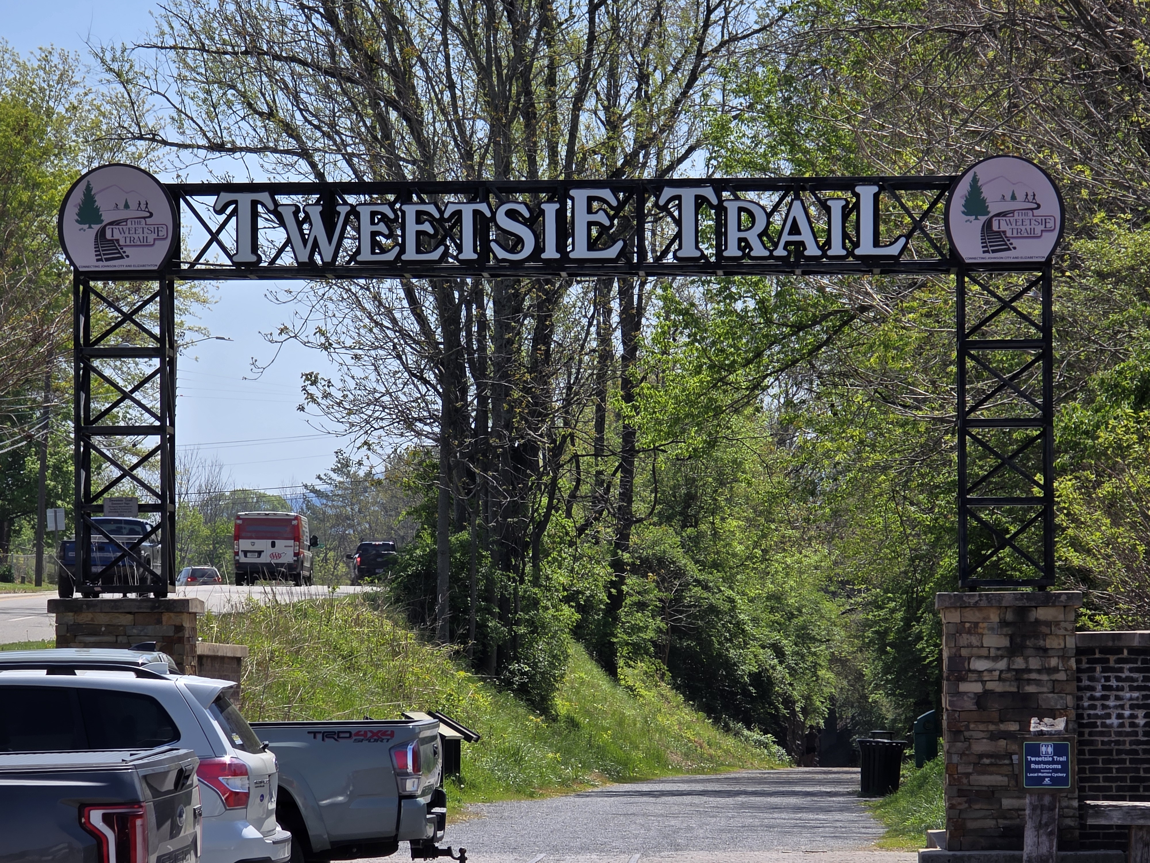


Tweetsie Trail

 At just under ten miles, the Tweetsie Trail is short for cycling but well loved in the communities of Johnson City and Elizabethton, TN. I rode in mid-April 2025 and started in Elizabethton where there was a gravel parking lot and a port a potty. The trail passed an industrial area, center city and retail strip malls. These are not my favorite views but after about 5 miles the trail became shaded and surrounded by trees and gaps with great views. I very much enjoyed this second half, just wish it was longer. My total round trip mileage was just 19.6 miles.

Elizabethton trailhead (36.32574, -82.20528) has a lower elevation than Johnson City (36.31498, -82.33655). The trail surface was fine gravel over hard pack. It was a smooth, easy ride. There were road crossings on the Elizabethton end but only some very low traffic crossings on the Johnson City end.


Dawkins Line Rail Trail

 I rode the Dawkins Line Trail (KY) in mid-April of 2025. I started at the Jenny's Creek Trailhead (37.78504, -82.83653) and headed west. Jenny's Creek trailhead has a lower elevation than the Tip Top Tunnel so I would have more downhill on the way back. The paved trail is composed of two sections, a 25 mile segment and an 11 mile segment separated by the Tip Top Tunnel that is closed. The section that I rode is the 25 mile section but starting at Jenny's Creek skipped about three miles on the east end. My round trip mileage total was 44.7 miles.

Within just a few miles I encountered menacing dogs chasing me four different times. Two instances were individual dogs and the other two times it was packs of dogs! Three of the times I heard or saw the dogs and got a boost of adrenalin and was able to speed away. I have no illusions that I was fast enough to do this rather the dogs gave up easily despite barking, snarling and growling. The dogs did not give up so easily in one instance and this was a pack of at least five dogs. I was able to retrieve my water bottle and spray my water at the dogs. This fortunately stopped the dogs in their tracks. The rest of the way out I had no more issues with dogs. The unease from the encounters was distracting, making it difficult to enjoy the trail.

At the western end of the 25 mile segment the trail abruptly ended. There was a very rough gravel road that I attempted to follow to get a look at the closed tunnel. That road quickly turned impassable with washed out gullies that looked difficult to hike and certainly impossible to ride. I turned around without a glimpse of the tunnel.

The return trip was filled with anxiety of knowing I need to pass the dogs to get back to my car. On the way out I had no issues with dogs on the western portion of the ride but that changed on the return. There was one part of the trail high above several houses. A very steep cliff along side the trail dropped to the back yards of the houses. The cliff seemed to be about three times taller than the houses. Near one of the houses was a lady in the front yard with two dogs. The dogs saw me and started barking. I was reassured by the cliff between the trail and the dogs. That reassurance was short lived as on of the dogs rapidly climbed the cliff and appeared next to the trail. Fortunately, I think climbing the cliff tired the dog, I was chased but it was short and half hearted. 

As I approached the part of the trail where I had the dogs chase me on the way out I held my open water bottle at the ready. It turned out not to be needed. I had no more dog encounters. These dog incidents ruined the experience and once at the car I had no desire to check out the three mile section of trail to the east of the car that I didn't ride.   


Washed out road to the Tip Top Tunnel


Gun Creek Tunnel